Official Vacation Travel Website of Kentucky Lake & Lake Barkley


Official Vacation Travel Website of Kentucky Lake & Lake Barkley
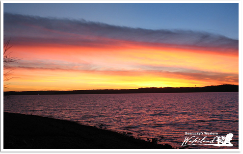
Beautiful sunsets in Western Kentucky are found nearly every evening right outside your backdoor. This sunset was captured on the back deck of Moon Bay Harbor on the beautiful banks of Lake Barkley.
Kentucky's Western Waterland is home to many famous restaurants offering the finest seafood, steaks, pork chops and more. Regardless of what you are craving, you can find something to please your palate in Western Kentucky
View more Dining in Western Kentucky


Area & State visitor's guides & brochures!


See what western Ky has to offer!

Search who, what, when & where!

© 2010 Kentucky's Western Waterland. All Rights Reserved. | Website Design & Maintenance by K-Squared Designs, LLC ![]()


